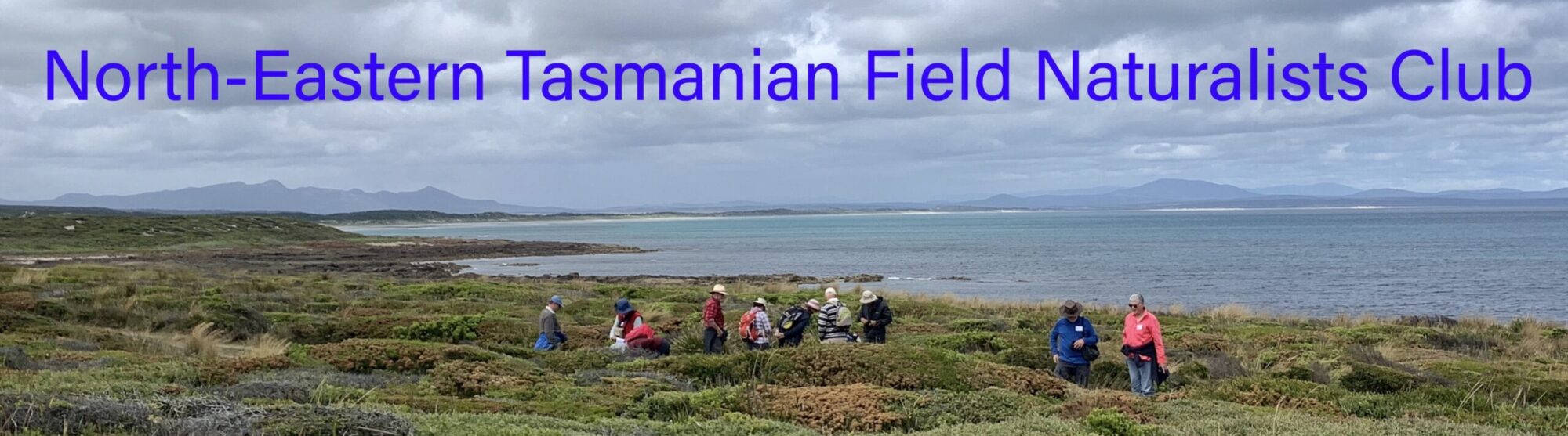
Waterhouse Conservation Area
About 35 km north-east of Bridport is an interesting area containing three permanent fresh deep-water lagoons, extensive relict dune systems, coastal heath vegetation and both rocky and sandy coastlines.
The area provides diverse habitats for a rich fauna, with nine threatened species of bird and at least three, and possibly four, of Tasmania’s six species of threatened mammals found here. Blackmans Lagoon and its feeder creeks constitute probably the single most important site in the State for the green and golden frog. It is also home to a rare freshwater fish – the dwarf galaxias.
Waterhouse is popular place for camping, with several sites available. Other popular uses of the reserve include hunting, wildlife viewing, fishing, and recreational vehicle use.
-

- Big Waterhouse Lake (LB)
-

- Waterhouse Conservation Area (PR)
East Beach and Low Head
When the Field Naturalists visited East Beach in February 2023, the Three Mile Bluff end of the beach was covered in mounds of seaweed over a metre deep in places. The beaches and bays around Low Head were central to seaweed research conducted from the 1920s to 1950s by naturalist, philanthropist and conservationist Florence Perrin. Florence Perrin’s legacy is embodied in the spirit of conservation, community and low-level development that gives Low Head much of its character today. The Field Naturalists also visited the Low Head Community Garden, a community-driven development utilising a vacant plot of local council land since late 2021. Several small ponds created in the gardens have attracted Green and Gold Frogs (Litoria raniformis), which bask peacefully in the sun, quite unafraid of people moving around the garden.
-

- Green and Gold Frog (Litoria raniformis)
-

- Green and Gold Frog (Litoria raniformis)

-

- East Beach, Low Head
Blue Tier
As a result of intense mining in the late 1800’s, much of the rainforest at the Blue Tier was cut down and is only now showing signs of recovery. There are remnants of old stampers, water wheels and other mining equipment remaining as part of this mining history.
On the southern and eastern slopes of the Blue Tier, there is a very significant area referred to as a glacial refugium where rainforest plants and Eucalyptus regnans survived the last glacial period intact. Nearby, in the valley below is a walk to the Blue Tier Giant, a huge Eucalyptus regnans with a girth measuring 19.4 metres.
Of late, the Blue Tier is buzzing with mountain bikers, but there are still possibilities for solitude on some of the half dozen marked tracks on the Tier. The plant communities are diverse with myrtle beech, tree ferns, waratah, gullies full of blackwoods and many sub-alpine species.
Naturalists may be interested in hunting for the north-east forest snail which is found only in Tasmania’s north-east.
-

- Waratah (telopea truncata) Blue Tier (LB)
-

- View from Australia Hill
Mount Cameron
The Mount Cameron range is visible from many parts of the north-east and especially from the huge sweep of Ringarooma Bay. There are several bush trails in the area, and one favourite is the climb to Cube Rock, which starts from the Little Blue Lake, just off the B82 between Derby and Gladstone. The Little Blue Lake gets it’s colour from minerals from tin mining early last century.
-

- Cube Rock (PR)
-

- Little Blue Lake (PR)
Bridport
A seaside town with a permanent population of around 1700, Bridport showcases a range of natural assets : spectacular coastal views, sandy beaches and waterways.
A ten kilometre walking track constructed around the town incorporates four distinct environments: the Brid River, the foreshore, various forest types and the Bridport Wildflower Reserve which is part of the Granite Point Conservation Area. This walk can be done in sections or as a whole.
The Wildflower Reserve protects 180 vascular plant species in eight distinct plant communities. There is shrubby coastal heath, tall wet heathlands, melaleuca scrub and wetlands and sedgelands. The threatened Juniper wattle, Acacia ulicifolia is quite common in the reserve. Other plants with conservation significance are the yellow onion orchid Microtis atrata, the swamp onion orchid Microtis orbicularis, and the grass tree Xanthorrhoea bracteata.
-

- Walking track at Bridport (LB)
-

- Beach at Bridport (LB)
Mt William National Park
Mt William rises above a plain which is near the north-east coast and contains heathland vegetation, grass trees Xanthorrhoea and black peppermint Eucalyptus amygdalina. Little is left of Tasmania’s heathland now, so reserves like these are precious. Heath is found on poorer soils such as those here, which result from weathered granite and wind-blown sand.
This national park was formerly a farm, purchased in the early 1970s specifically to form a sanctuary for the forester kangaroo Macropus giganteus tasmaniensis. The forester is the Tasmanian sub-species of the eastern grey kangaroo Macropus giganteus, found on the mainland.
Mt William National Park has an amazing diversity of animals, including approximately one hundred species of birds inhabiting the coastal heathlands. There is a choice of beachside campsites and the walk up Mount William offers views to the Bass Strait islands.
-

- Mt William (LB)
-

- Midden, Stumpys Bay, Mt. William National Park
Mount Victoria
Mount Victoria is in the Mount Victoria Forest Reserve and forms part of the Ben Lomond biogeographic region. The peak has an elevation of 1,213 metres. At over 90 metres Ralph Falls is Tasmania’s highest single drop waterfall, a streaming ribbon of water plunging over a sheer rock face. You can take a beautiful circular walk, with spectacular views, through rainforest, stands of ti tree, and carpets of sphagnum moss.
-

- Callidendrous forest, Ralph Falls (PR)
-

- The boardwalk, Ralph Falls (PR)